Minimal chance of snow in Aylesbury Vale this week but fog more likely
and live on Freeview channel 276
The first week or so of January has seen some notable contrasts in both weather and temperatures, following on from a fairly stagnant and non-descript December.
The opening days of the year saw exceptionally mild conditions across the UK, courtesy of a very mild southwesterly flow bringing in tropical maritime air. This saw temperature records tumble for
Advertisement
Hide AdAdvertisement
Hide AdNew Year’s Day, with a new record maximum of 16.3C being measured at St James Park in London.

This beats the previous record of 15.6C set more than a century ago. This is far above the average maximum of around 8C for London in January.
However, the exceptional warmth didn’t last, with a sharp transition to far more seasonal conditions taking place through the 3rd and 4th .
A cold front sinking down from the north brought the first widespread frosts across southern Britain since before Christmas, with the night of the 5th seeing temperatures as low as -6C in our area.
Advertisement
Hide AdAdvertisement
Hide AdThe chilly conditions continued through the remainder of the week, and although there was no meaningful snowfall we did see a few flakes come down over the Vale on the 4th .
So can we expect more substantial snowfall in our area over the coming few days? Well, despite it remaining on the chilly side with further frosty nights, the snow chances will be minimal.
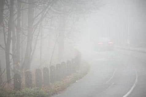
High pressure will keep proceedings largely settled, with fog likely to be an issue rather than snow.
Unfortunately, sunshine is likely to be at a premium as any patches of fog and low cloud remain fairly stubborn.